Kingsbury Grade 2026-05-24
Kingsbury Grade is a shit launch. A short hike in the woods off of the Kingsbury Grade highway, there is a clearing in the woods on a 30° slope, all scree, that is just large enough to set up and launch a glider. Launch faces southeast, and the cycles seem to come from the south, but not before wrapping around the 40 ft pine trees that surround the spot. Pick up the wing wrong, and your glider will be wrapped around a tree. Mistime a cycle on launch, and your glider will again be wrapped around a tree, with you hanging below it.
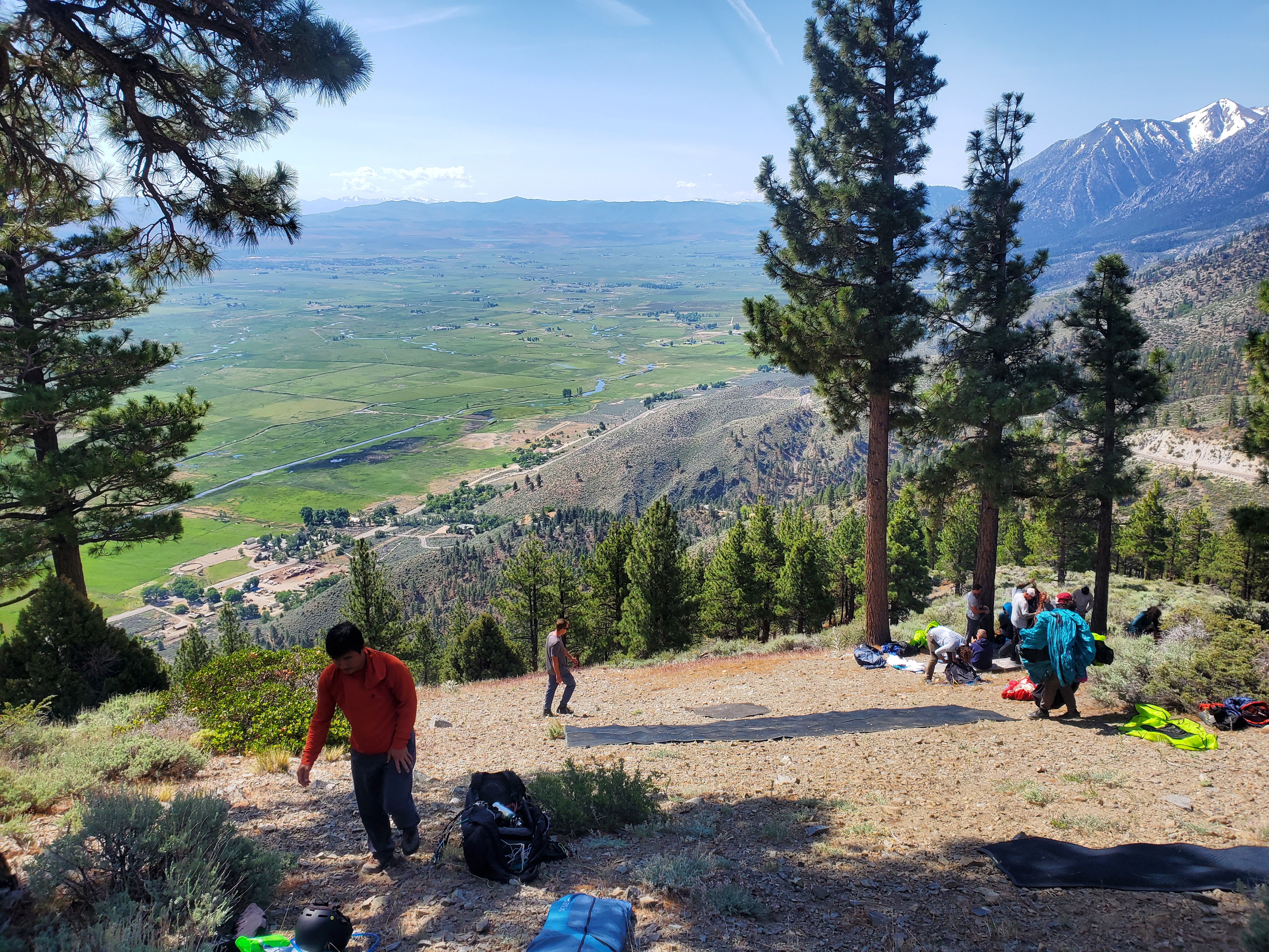
On launch, I was decked out in all of my cold weather gear, including a down parka, gloves, hat, oxygen tank, lots of water, and snacks — all adding up to a wicked heavy harness. Three folks got off the hill before me, including one who nearly draped his glider into the tree. When it was my turn, the cycles didn’t seem to want to fill in enough to cooperate, but I eventually was able to hurl myself off of the tiny launch, through the trees, and into what turned out to be a leeside bowl.
Two days before, I had flown Vaca in booming conditions, so I was tuned up to hunt for strong climbs. I was on an east-facing terrain feature at 11:00am in the Sierra Nevada mountains, so I was convinced that there was something good out there. It took me 40 minutes of desperately searching, leaving nasty small one and one-and-a-half meter climbs to try to find the twos or threes, before I realized that nothing was going to be there. I gave up and tightly cored a thermal that was barely going up at 1 m/s, taking any little bit of altitude that I could as I went up. This seemed to be the ticket: after gaining enough in this climb, I was able to bench up to slightly higher terrain, which yielded a shitty 2 m/s core, which then gave me enough altitude to bench up to the high terrain and connect with something good. All told, it took me nearly an hour to get established. What a waste of time.
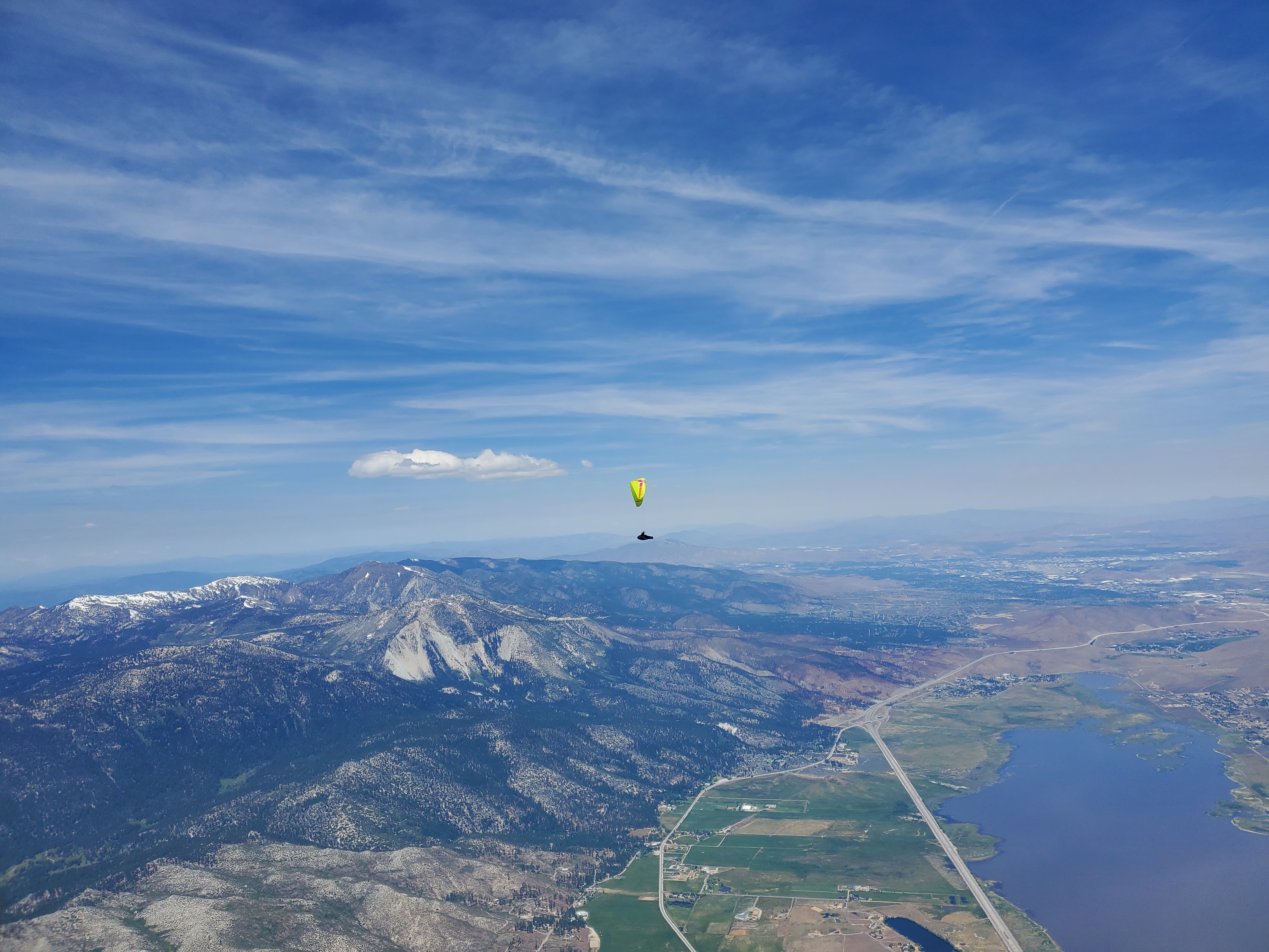
The next section of the flight was smooth sailing. I was high, and cloud hopped mostly downwind, pushing full bar in between each climb. I was getting great threes and fours, and was making great progress. My timing seemed perfect, as the clouds seemed to pop from blue sky just slightly down course line each time I topped out a thermal. I was flying alone, but I knew that others were generally around.
I arrived high at the crossing over Fernley. Here, the terrain dropped away for miles before the range on the far side of the city picked back up. I knew that altitude was at a premium here, and so I slowed down and took a best L/D glide. When I arrived at the parched, black, craggy, mean-looking mountains on the far side, I was lucky to have two gliders below and in front of me, each searching for a climb. Jake was one of them, and after he connected with something, I flew over to join him in a tiny 5 m/s ripper which took us up and back to top of lift.
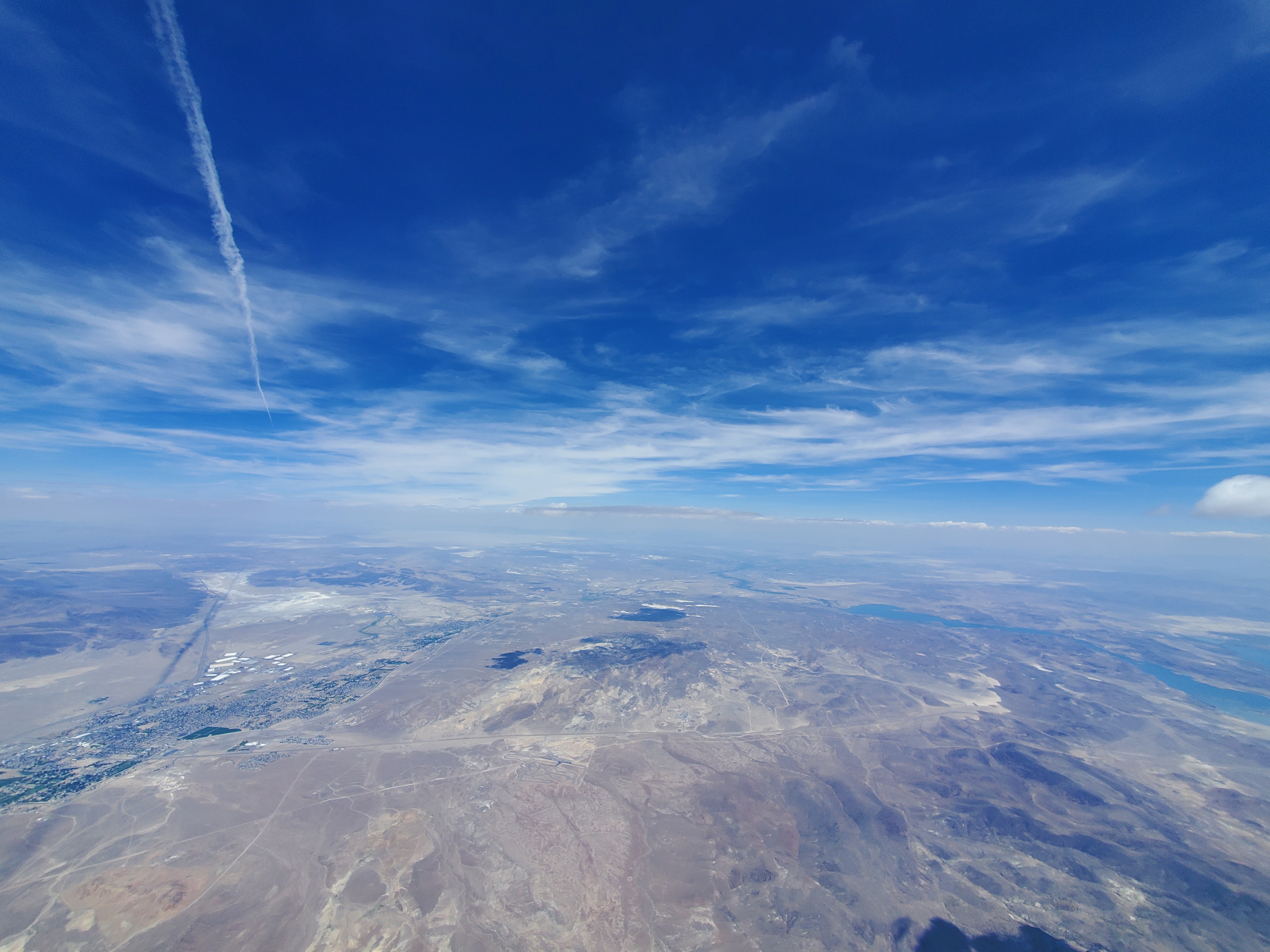
Slightly further along this range, I connected with Razi and Enes. We flew together for a little bit, before we split up while looking for lift. We were both under a cloud, and Razi searched downwind over a shallow peak. I pushed upwind, to a large communication antenna. I was hoping that the communication antenna was acting as a trigger for the cloud overhead. What I found was not a cohesive climb, but instead rocket bullets of rising air. I would get thrown up at 5 or 6 m/s, then immediately knocked down at negative 2 or 3 m/s, then back up, then back down. I tried circling, but there was nothing really to circle in. Even though the bubbles were sometimes going up, on net I was just barely maintaining. Razi, on the other hand, had connected with a fantastic climb, and was ripping above me. I decided to bail on the communication antenna and dive back to hopefully connect with what he had found. I did, but not before he reached cloud base and cruised a long way ahead of me.
After climbing back up here, I think I felt a bit behind. To try to catch up, I was pushing full bar, and looking for the next ripper. I chased two or three clouds, getting nothing but lower. When I fly, I generally have a “take any climb” altitude (see my essay here), and while searching for the next ripper here I ignored that altitude and kept pushing. As you can probably guess, this didn’t work well, and before I knew it I was below peak height in a dip in the range. The western side was windward and sunward, but there was not a single road for miles that I could see. The eastern side looked like shit, but at the bottom of the shallow range was I-80. I decided to bail over towards I-80, and make a hail Mary on one of the little bumps on the lee side. The first one didn’t work, and I was running out of time and altitude to decide what to do. There was a big cloud overhead, and so I knew something was triggering, and the shadow of the cloud was moving to the northeast right in front of me.
As a last-ditch effort, I decided to fly to the downwind side of the cloud, with the idea that the cloud may be triggering the thermal that was feeding it, similar to windy flatlands cloud formation. Only two or three hundred meters off the ground, I connected with an absolute bucking bronco of a thermal. I yanked the brake, banked the wing over, and hung on for dear life as the core ripped me up and tried to throw me out. My vario ran out of “going up faster” sounds, and my 20s average on my instrument peaked at 6.5 m/s.
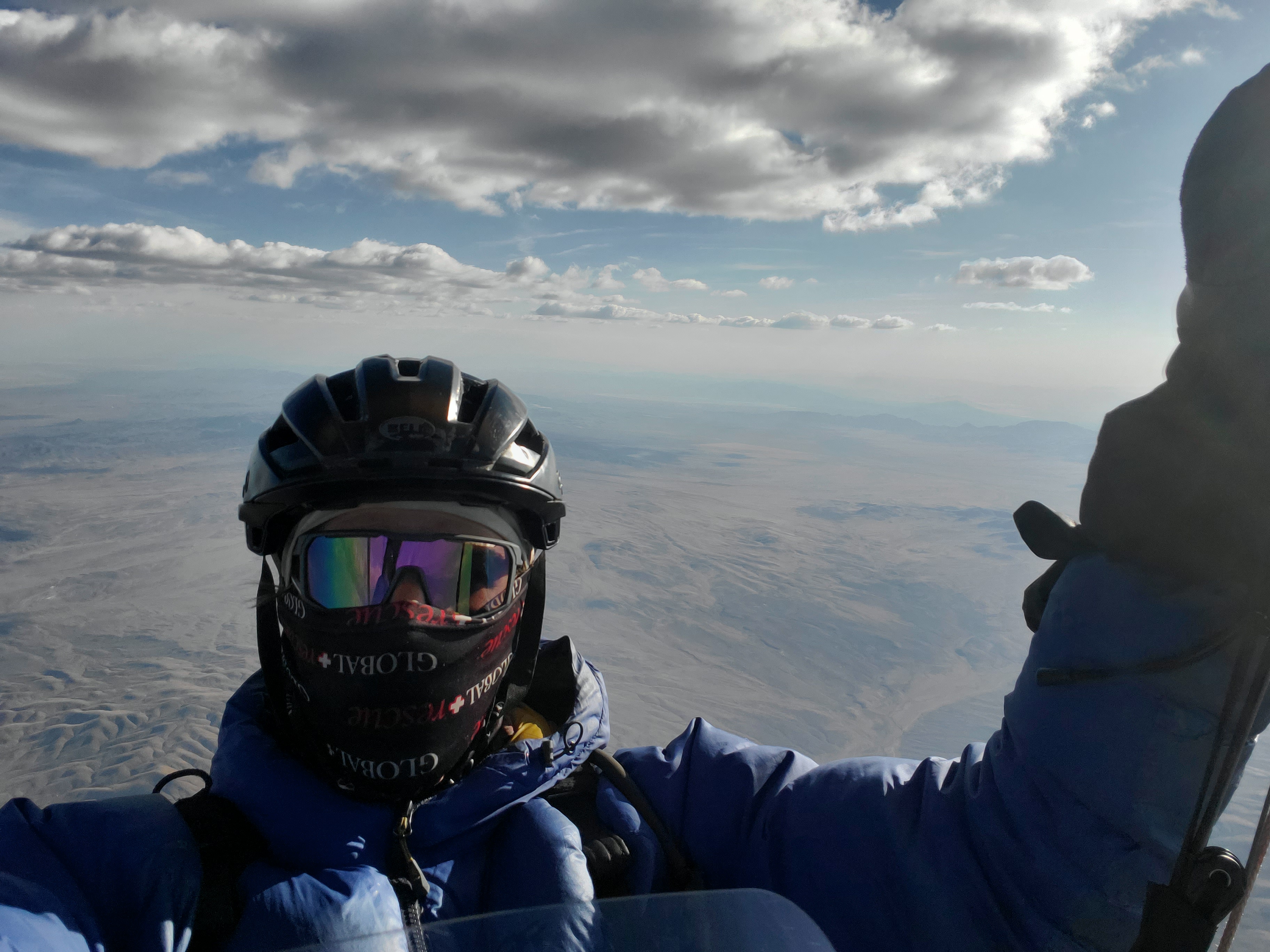
After I got back up to cloud base, I swore up and down to myself that I would not, for the rest of the day, keep pushing below my minimum altitude threshold. This was quickly put to the test, as I was unable to connect with any of the clouds on my next glide. After getting below 3,600 m, I bit the bullet and took a drifty 1 m/s thermal for a long time to get back established.
Once back to cloud base, I took stock. It was 6pm, and I was to the west of the town of Lovelock, and the TFR in Winnemucca was now remarkably close. I-80 passes through the town of Lovelock, on the eastern side of a large river. The range I was on and the clouds I was following were on the western side of this river. My best guess was that the roads to get to the west side would be hours of driving from the highway. I kept on this range, consciously aware that landing was not really an option over here.
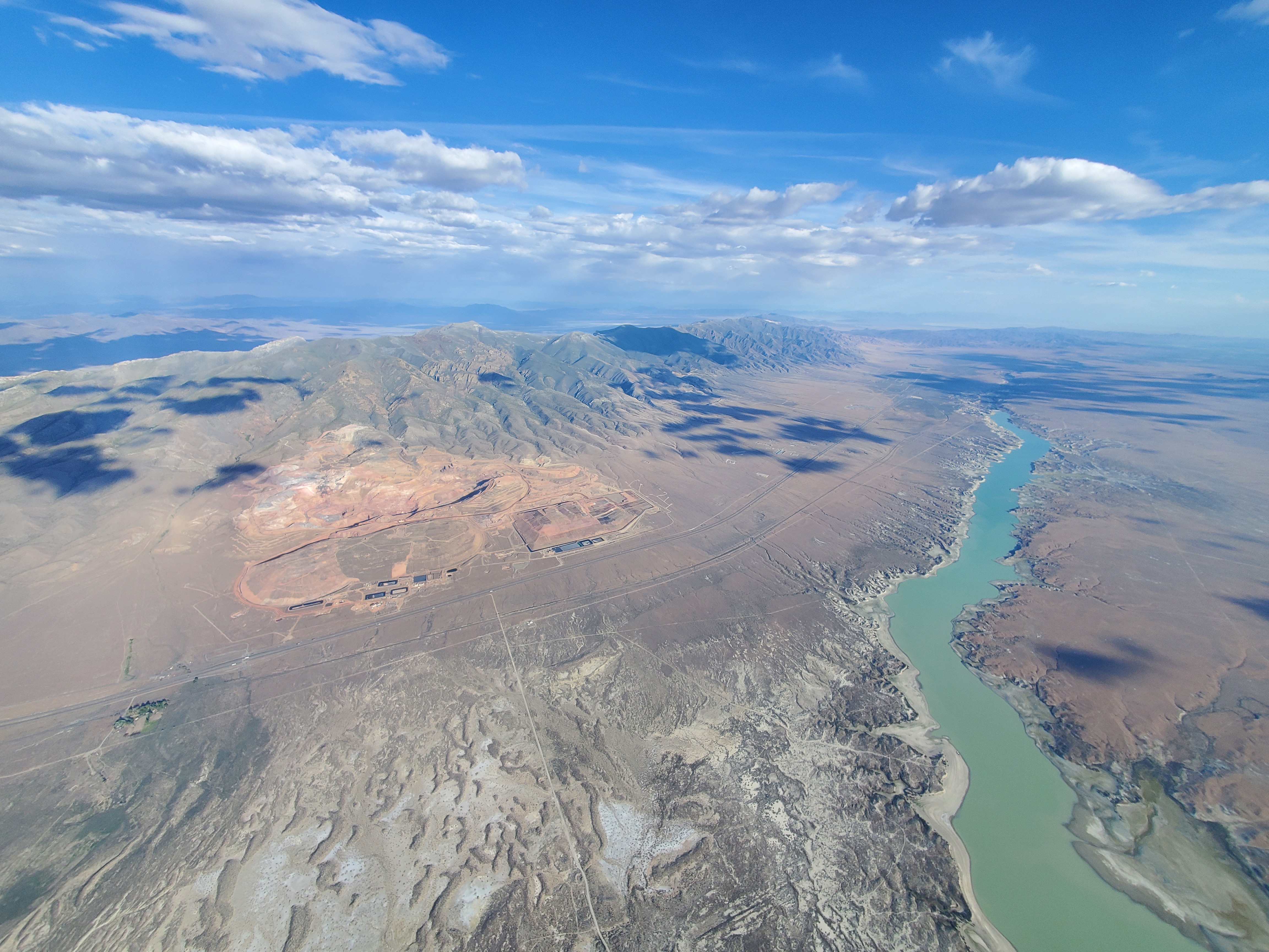
I landed around 7:30pm, and my instrument read 249km. Shortly thereafter, two pilots landed near me. Razi committed to the range to the north, and scraped together another 40km for a new site record of 290km. Our retrieve driver picked us all up, and after a misadventure of ten people plus gear in a Ford explorer with eight seats, we made it back to the parking lot at 1:00am. It had been fourteen hours since hurling myself off of the scree clearing barely large enough to lay out a wing.