Griswold 2026-05-19
In contrast to my ~15lbs lightweight hike-and-fly paragliding kit that I often carry when hiking to launch, my full weight kit weighs ~55lbs. I carry a second reserve parachutes for peace of mind in strong turbulence, a comfortable harness for hours of flying, and a wing that flies just a little bit faster. I carry extra snacks and water in case I land far from a road, and I carry a bivy in case I land really far from a road.
On the morning of May 19 as our crew of 10 pilots started up the hike to launch at Griswold, I regretted my decision to schlep my full weight kit. I could feel every single pound hanging off my back as we traversed switchbacks up a sheer face, following a hint of a trail snaking through dry golden grass. A mile into the trek, I slipped and my bag would have dragged me down the hill all the way back to my car had I not caught myself with my uphill knee. In return for its service, the uphill knee cracked open a scab and soaked my pants in blood.
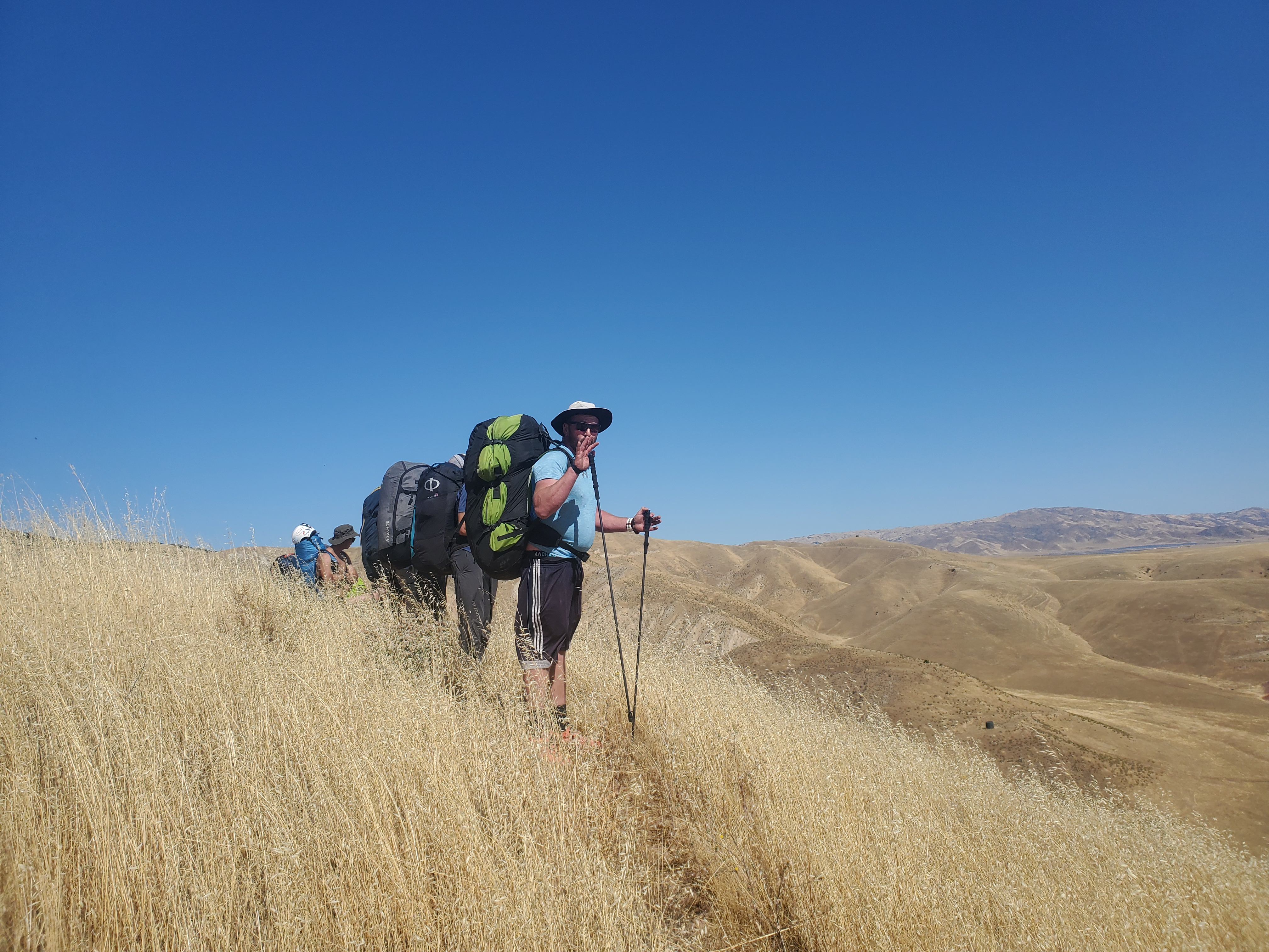
After the switchbacks, the sheer face connected with a knife edge ridge, which we followed all the way up to the peak of the mountain. Despite how early it was, I felt strong thermic cycles rolling up the slopes and the ridge. I knew it was going to be a wicked day.
After reaching the top, we traversed along a spine over to where the launch was. It was a great-looking launch, nice and smooth, with dried-out tall grass covering it. I immediately started pulling my stuff out and getting ready to go, as the cycles told me that the day was on and pumping.
Launch at Griswold begins as a grassy clearing, and then drops off into a rocky cliff after a dozen feet. Around 11:30, I brought the wing up in what felt like a good cycle, and was dismayed to find myself running down the ever steepening slope as the wing didn’t want to pick me up. As the cliff came closer into view and I began regretting my decision, I was violently yanked straight up. Once airborne I gingerly worked my way into my harness while struggling to keep the wing open in nasty turbulence. I was treated to a miserably turbulent short glide out to the house thermal trigger, which yielded a strong climb to 5,000 ft.
The first crux of the day was a jump back from the outcropping of Griswold hills to the main Diablo range. I topped out the house thermal and slid back along the ridge towards the peak, only getting a few hundred feet more altitude at the climb over the peak. I guessed that I wouldn’t get much better, and so I took my altitude and turned my wing to send it over the back of the range.
Immediately I knew I didn’t have enough altitude to make it all the way. There was an intermediary ridge, and so I headed there, hoping to eke out another couple hundred feet to clear the rest of the gap. My plan paid off, and the next thing I knew I had hopped the intermediary and connected with the main range. A few turns in ridge lift on the main range turned into a strong climb up to 11,000 ft.
I wanted to wait for the rest of the group, so I slowly started following the range south. Shortly after, Mike, Sasha, and Doug each came on the radio to say that they were up and away. I knew that flying with them would be much faster than flying alone, and so I hoped to connect with them after they made it over my way.
I didn’t connect with a climb south from the initial strong climb, and before I knew it I found myself low on top of the range. I had three choices: land on top, fall off to the east, or fall off to the west. To the east was the valley that we had just flown over. The west had a small lake far off in a parallel valley. I chose to go to the west side, as it was more on course line, and I figured there had to be a climb somewhere on this sunny, windward side. There was no climb on this sunny, windward side.
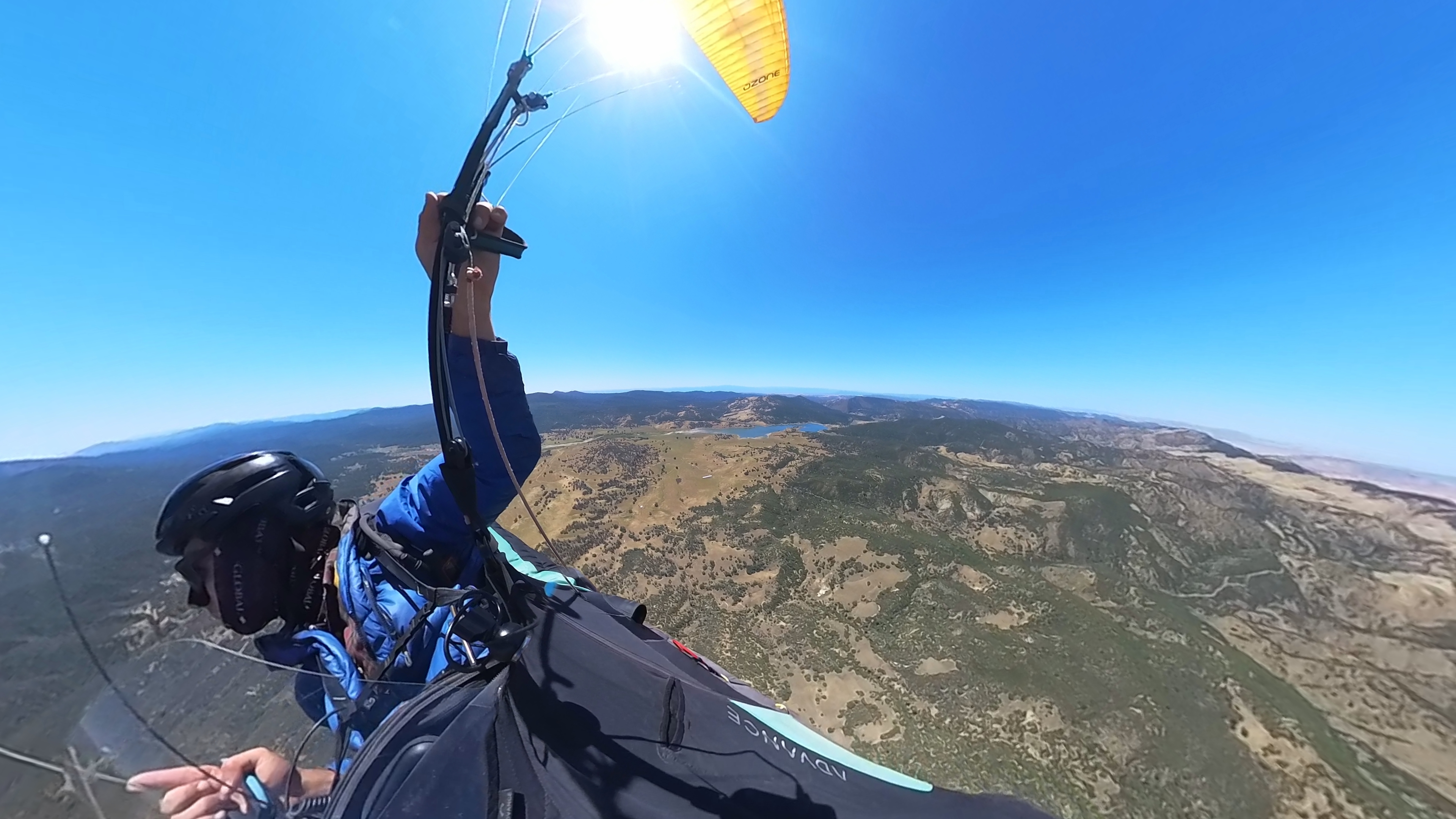
While I was fighting for altitude by the lake, I watched Doug, Sasha, and Mike all cruise by thousands of feet above me. By the time I was back up, I knew that catching up with them was likely off of the table. My hopes to team fly from the beginning were dashed.
A very small cloud had popped up ahead, and I made that my target. I stayed high here, and was able to sniff out a couple of great climbs to make fast progress along the range. By the time I got to where the cloud was, it had disappeared. A new one had popped up along the next range to the west.
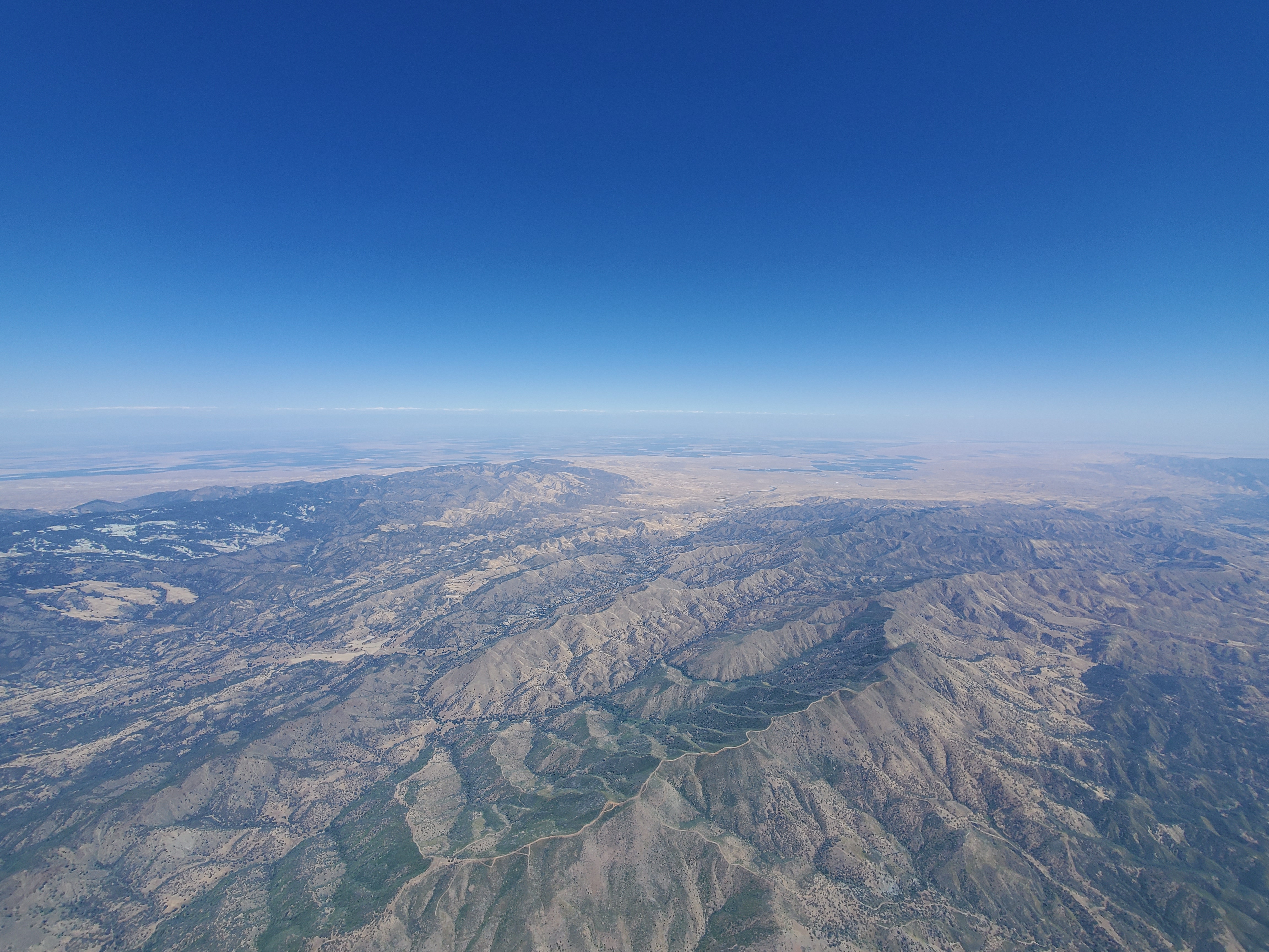
Just like the first cloud, the cloud over the middle range disappeared quickly. The whole way over to the middle range was miserable, miserable sink. I was on full bar and my instrument read a consistent -5 m/s. All of a sudden I wasn’t sure if I was going to make it over the top of the middle range, let alone connect with the climb feeding the cloud. I biased a little north, where there was a dip in the range, just in case it got dire. I eked it out over the dip in the range, still going down fast. Here I was, low on the western side again. This time was different; by this point, the day was on, and on strong. I flew to an obvious trigger and was yanked up into the air by a 5 m/s thermal. I banked the wing over and rode the bronco all the way back up to 12,000 ft in no time at all.
My forecasting of the day suggested that the best convergence was going to be along the third range, and so I used the altitude from my climb to make another transition to the third range. This time, I connected with the range high, and stayed high as I flew over the top of the range, now to the southeast, trying to sniff out the convergence.
Convergence is a magical phenomenon: when conditions are right, two different winds from opposite directions will meet and a region of air will go up. The Diablo range is well known in the soaring community for the convergence formed when the sea breeze from the Pacific meets up with the winds from the Central Valley. Convergence is obvious when there are cumulus clouds, as the clouds will form showing where the convergence lies. Without clouds, it’s a puzzle of trying to read the winds in different regions and make educated guesses as to where they meet. I use thermal drift and my flight instrument wind indicator to try and get an idea of which direction the wind is blowing. When I think I’m in convergence, I make slight adjustments to turn to the left and right, and optimize for my airspeed. This seems to work well — maybe there’s something to it. I’ll write an article on it someday.
It was fast flying until the third range petered out and dumped me into the valley. I wasn’t quite sure where I wanted to go, and that lost me some time. First I went south along the tiny continuation of the range, but then got low and had to take a really drifty weak climb to stay in the game. Eventually it turned into a good climb, but it put me out further west than I originally planned. I decided to keep flying on this line. I was above a river gorge with a plateau to the east, and I was banking that the sun would hit the west-facing slopes of the river gorge and put out some good climbs. This didn’t quite seem to work, as I found myself lower and lower looking at the gorge. I did a quick check on the map, and saw that there were no roads easily accessible in the gorge, so I decided I didn’t want to be there. I remembered from my forecasting that the thermals and convergence in this region were projected to be further to the east later in the day, so I decided to try going east and see if things improved.
The wind had switched, and was now blowing me to the east. I inhabited my best patient mindset, and circled in a number of very, very weak climbs to slowly eke my way over. It felt like the end of the day: it was 6:30, the thermals were not going very high. I was over a nice big highway, and I decided that if I had to land here, it wouldn’t be too bad.
I took a weak climb and drifted slowly along in the wind, barely going up but making distance in the direction I wanted to go. My climb disappeared, and so I searched broadly and connected downwind with a stronger 2 m/s climb. The 2 took me up a little ways, then disappeared itself. I searched downwind again, which connected me with a 4 m/s climb! This 4 m/s climb took me up to 11,000 ft. I was back in the game.
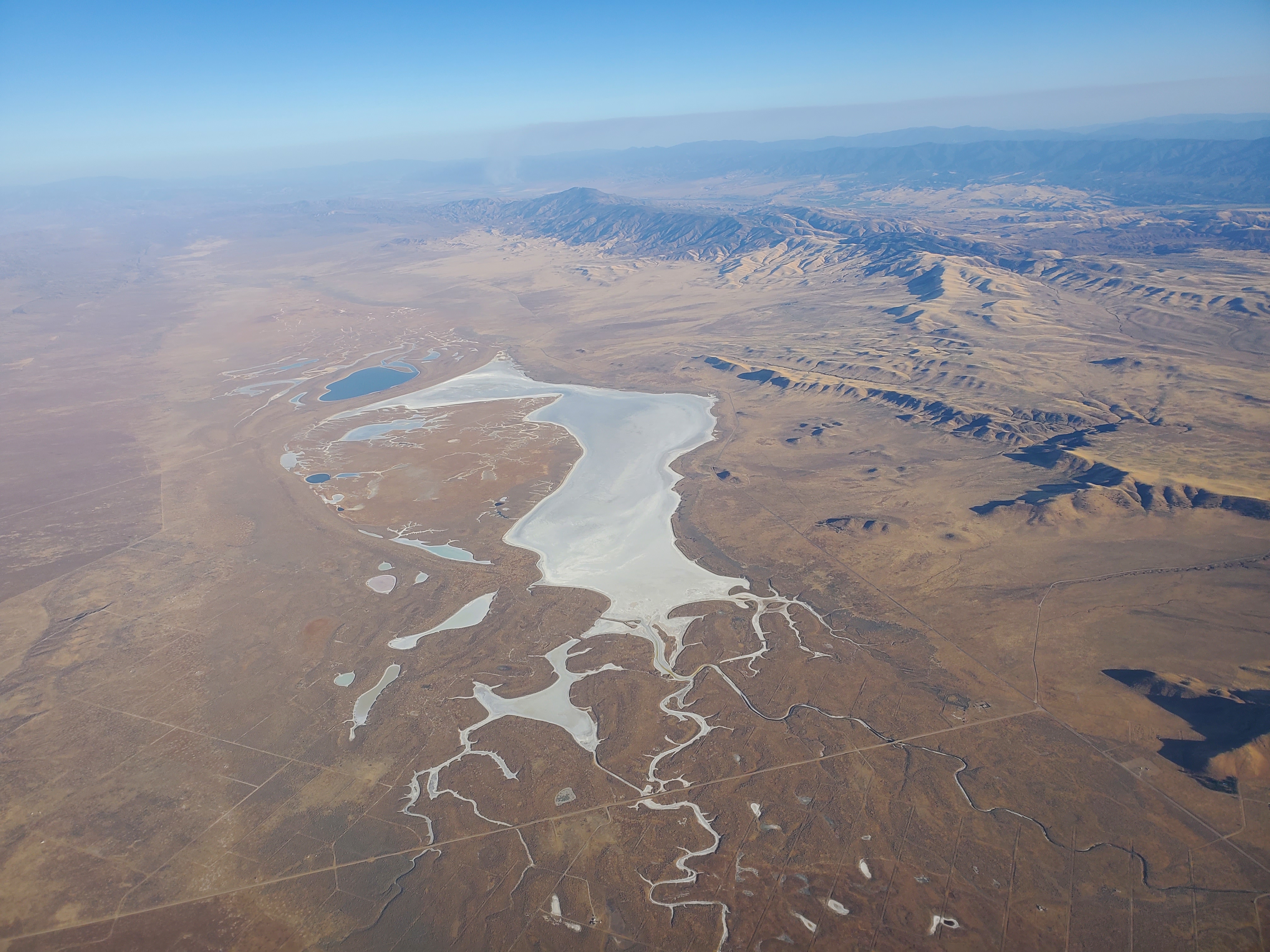
I was vaguely concerned about the roads where I would eventually land, and I took a couple of checks of the map. I decided that I would probably want to be on the western side where the main dirt road travels through the valley. The eastern side, where I was, had a few tiny unmaintained dirt roads that I wasn’t sure if our retrieve drivers could get to. After making it to 195 km on the eastern side, I was high enough that I decided that I could glide to the western side and make 200 km before landing next to the main road.
My plan worked out perfectly, as I tagged 201 km before turning upwind and heading to the middle of the dirt road on the western side. As I was coming in, the whole landscape looked to me like it was covered in craggy, waist high volcanic rocks. I was sure to land on the road, as I thought these rocks were a sure recipe to break my legs. After 8 hours flying in the air, I think that my brain left my head for a little while. Upon landing I saw that there were no craggy rocks, just short shrubs and their shadows stretched long by the low evening sun.
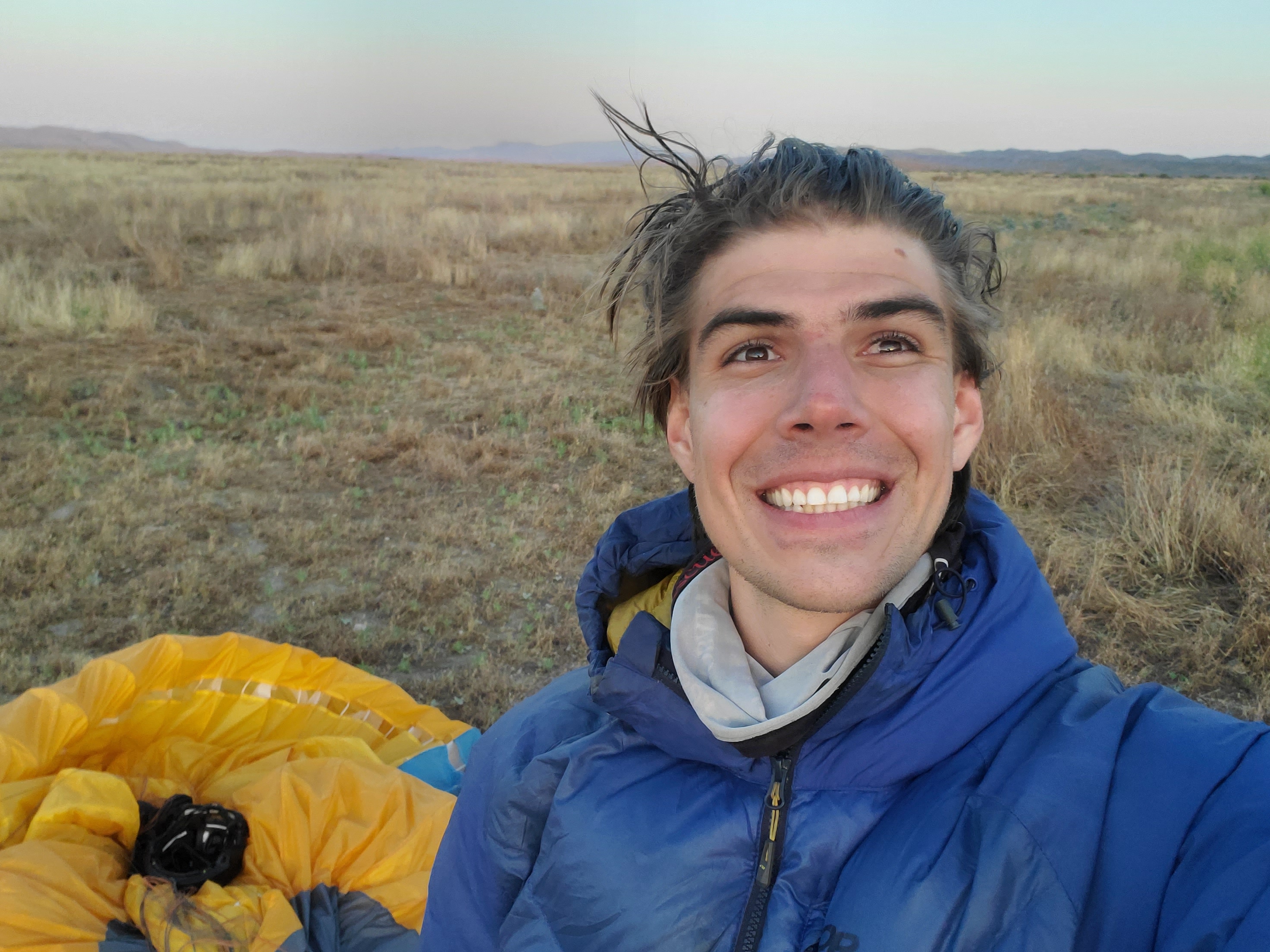
Eventually we crammed all eight people into the one small SUV. I sat in the trunk with Mike Cozza, four people sat in the rear seat, and two in front. The second retrieve driver was waiting for us with a second car about 40 minutes to the north.
As we drove back north, I learned the story of what had happened with Natalie, who had hiked to launch with us. She was unable to find her way down the trail after all the pilots took off, and had a harrowing journey of trying to get off the mountain. Eventually she was rescued by Thorin, a fellow pilot and CalFire captain, who had bombed out near launch. She and Thorin didn’t make it back to the cars at the bottom of the trail until 5:00 p.m., after having started the hike with us at 9:30 a.m. Natalie had almost called 911 before Thorin showed up. Despite all that, she still drove the 3 hours south and was there with a car to split up the 8 pilots across two cars.
I landed just before 8:00 p.m., and we made it back to our cars at Griswold at 1:00 a.m. Instead of driving home, I decided to just sleep in the van. I hadn’t planned to stay the night, and so I didn’t bring sheets or a blanket, and so I curled up under my down parka and knocked out.