Owens Valley Flight 2025-08-30
Preamble
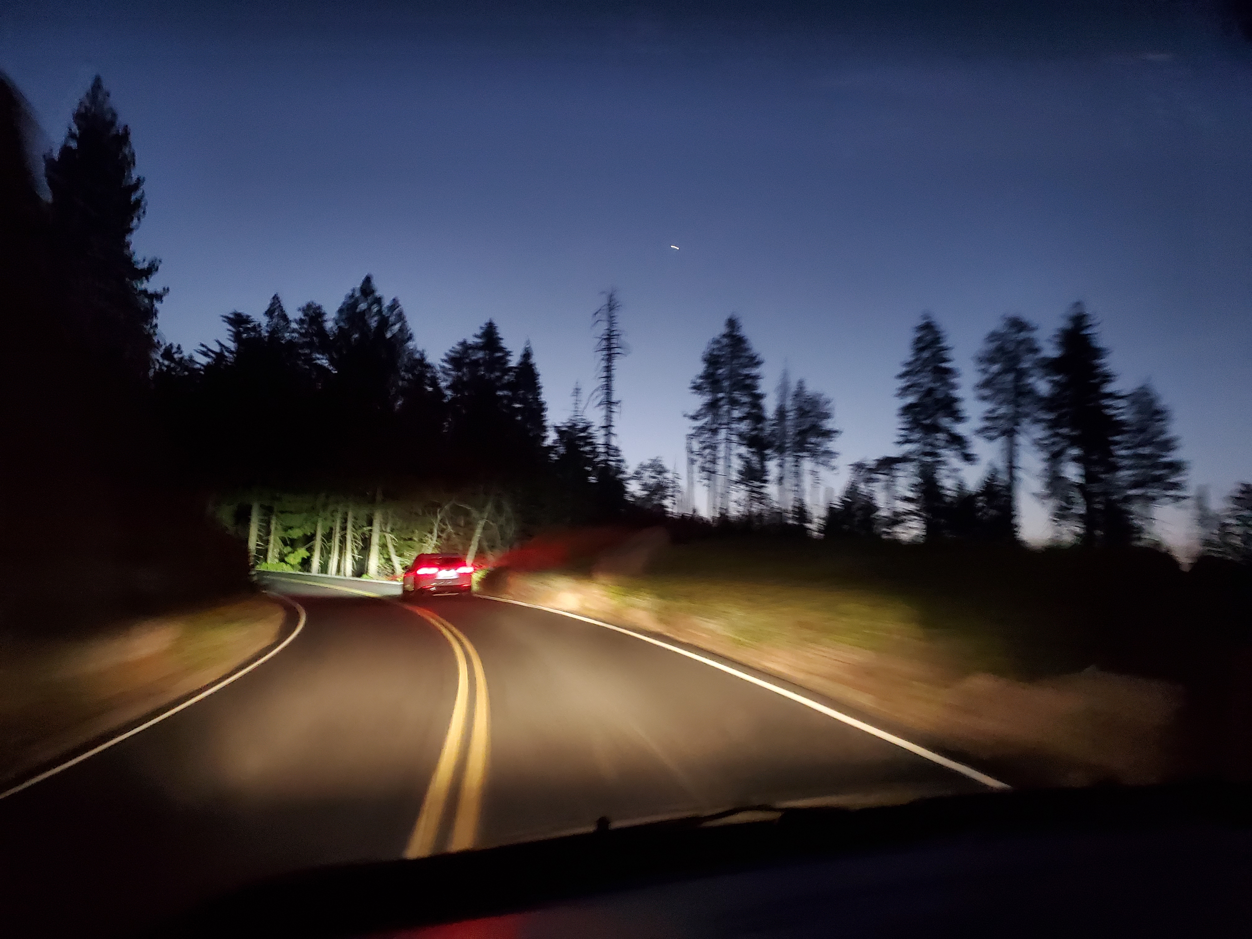
XC League was scheduled for the Owens on Labor Day weekend, and the forecast looked amazing for Saturday. 16000’ top of lift , relatively low winds, cumulous clouds and a wide band of convergence over the white mountains. I began my drive out to the Eastern Sierra on Friday evening around 6:30pm. Google maps projected my drive time to Lee Vining to be around 5.5 hrs, which would have me sleeping at midnight. That would be just enough time to get a good night’s rest, then completing the last segment of the drive to meet the XC League group in Bishop at 8:30. Shortly after leaving, the ETA increased from midnight to 12:30, then 1 am, then 1:30am. I shortly thereafter hit the traffic. I sat in gridlock for what felt like hours before finding myself on the other side and back at 70mph.
 To add insult to injury, I was developing a splitting headache. The headache grew as I got closer to Yosemite’s Big Oak Flat entrance. Next came nausea. I felt like I was getting carsick, but I was the one driving! The nausea came to a head as I drove up the winding Old Priest grade. There was nowhere to pull over, so I grabbed a grocery bag and puked as I drove. It was miserable. The nausea subsided after I puked but the convulsions only made my headache worse.
I pulled over on a forest service road just off of 120 around midnight before even entering Yosemite. I had ~eight hours before I needed to be in Bishop, and ~three hours remaining on the drive.
I made it to Bishop the next morning just in time. I jumped on the first vehicle driving up, and we jostled our way up the 4x4 road to Paiute launch, stuffed 4 people wide in the backseat. We had two vehicles and two drivers, so the plan was to have both do laps together up and down the road to shuttle pilots to launch. After arriving, we sent the two vehicles down. 20 minutes later came the radio call that one of the vehicles had slashed a sidewall on the shale rock that lines the mountainside. An hour after that, a second radio call came that the same vehicle had another flat. The first group that were brought to launch would be the only ones to fly Paiute today- the task was cancelled since we couldn’t get folks up the hill.
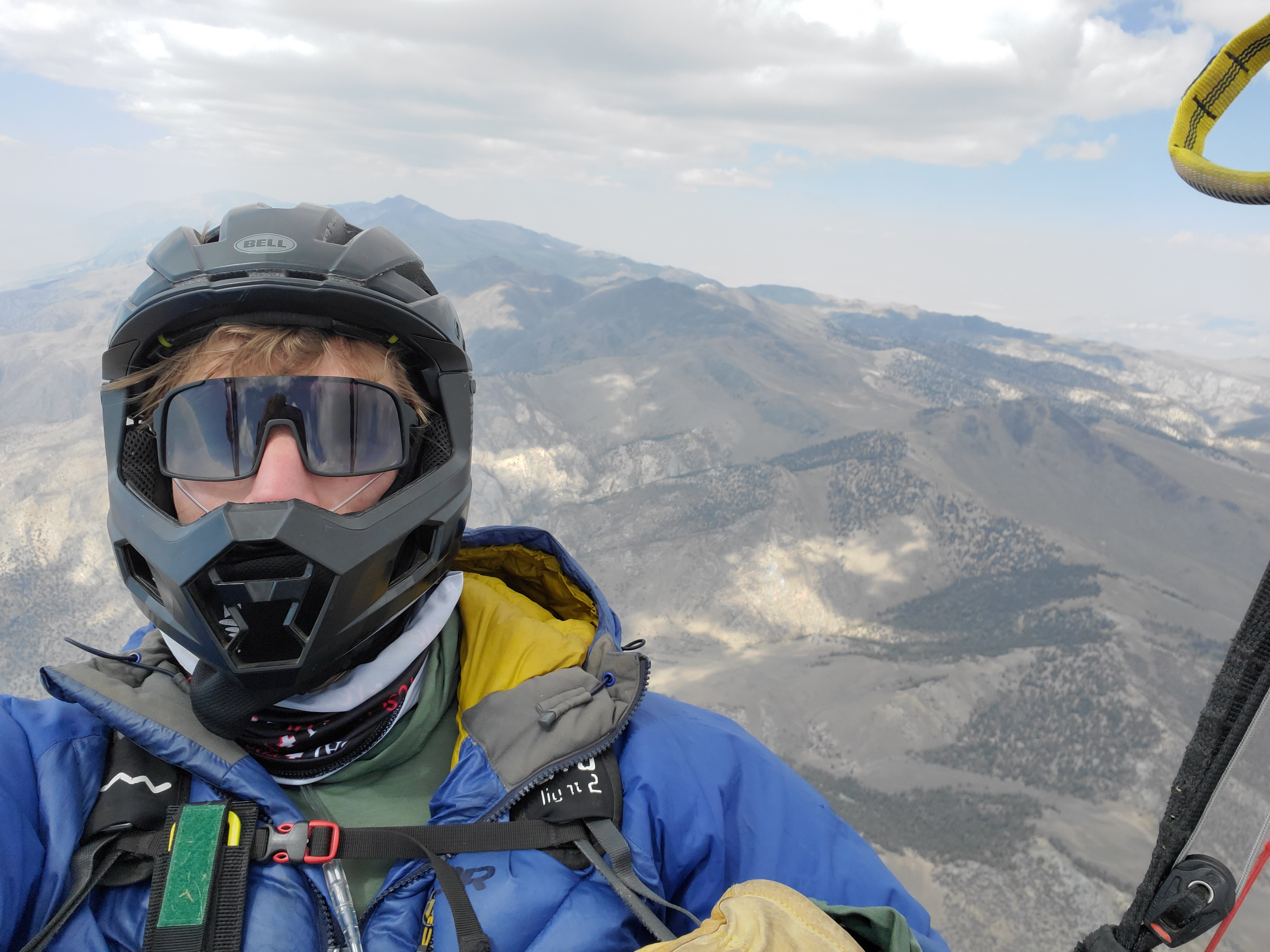
While all of this was going on, I sorted my things and was ready to fly. I didn’t want to be launching late, no matter what happened with the task. My experience of flying in the Owens last year and anecdotal reports from others had formed in me a healthy fear of trying to launch later. When I felt the first strong cycles come through, I suited up and was on launch when the day was formally cancelled. I launched shortly thereafter at 12:15pm.
Flight
I took off and almost immediately connected with a climb that took me to 14.000’. The Owens Valley is at roughly ~4000’, Paiute launch is at 8000’, and the top of the tallest peak on the range, White Mountain, is ~14000’. This means that launch isn’t even halfway up the range, and that my rocket to 14000’ didn’t even put me over the top. At the top of the climb, I took a moment to put my heavy gloves on (I don’t like taking off with them on), then punted deeper into the range. I found another climb on a ridge up to Mount Barcroft which allowed me to connect right over the top of the range, where the convergence was forecasted and the best of the clouds were forming.
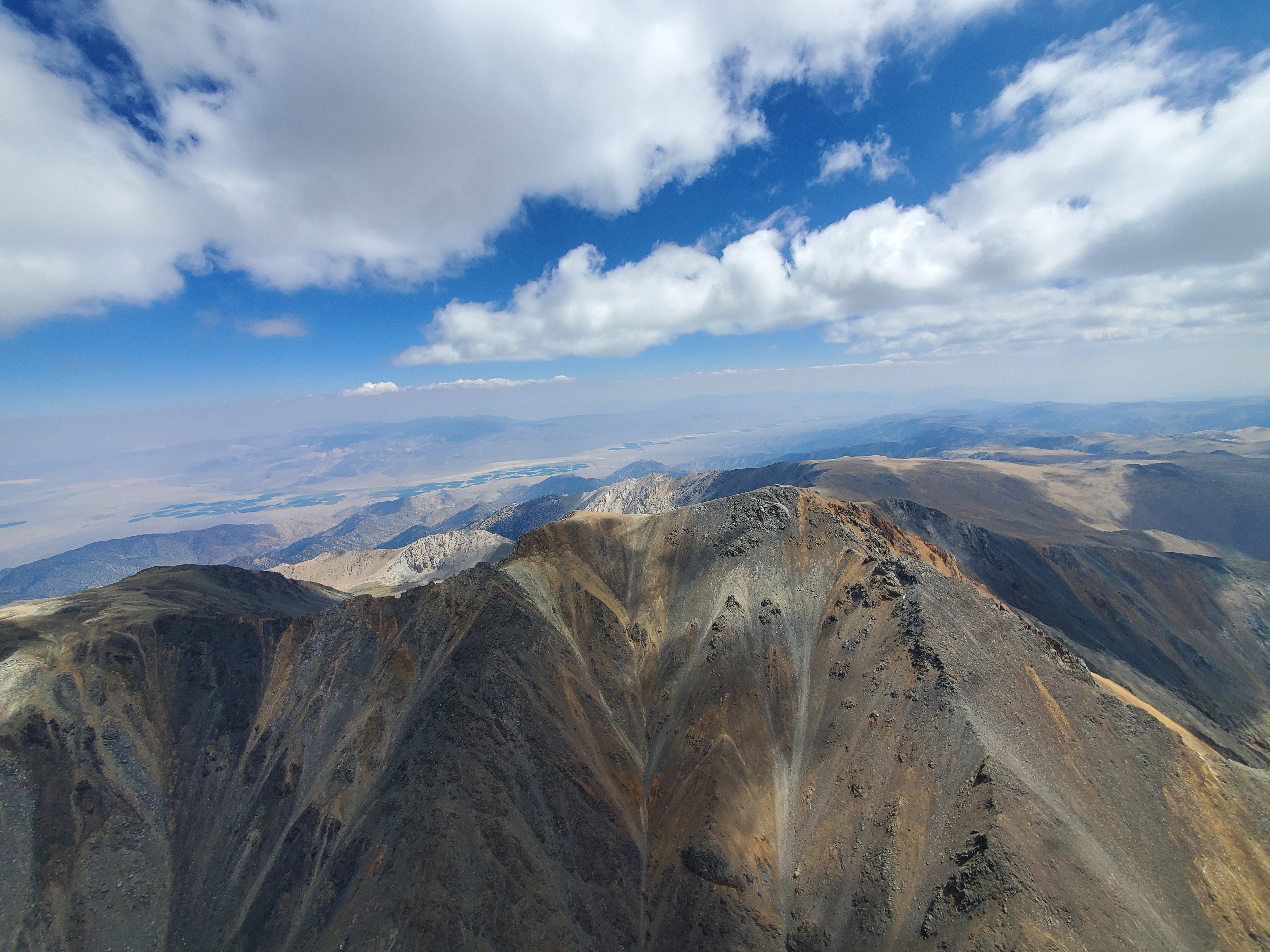 I followed the range north and flew past White Mountain nearly at its height. It was magical to see the peak from the air. It’s nothing like its name, but instead a combination of deep reds, blacks, grays, and oranges. At 14000’ the mountain is absolutely massive, and the vertical relief is stark against the valley below.
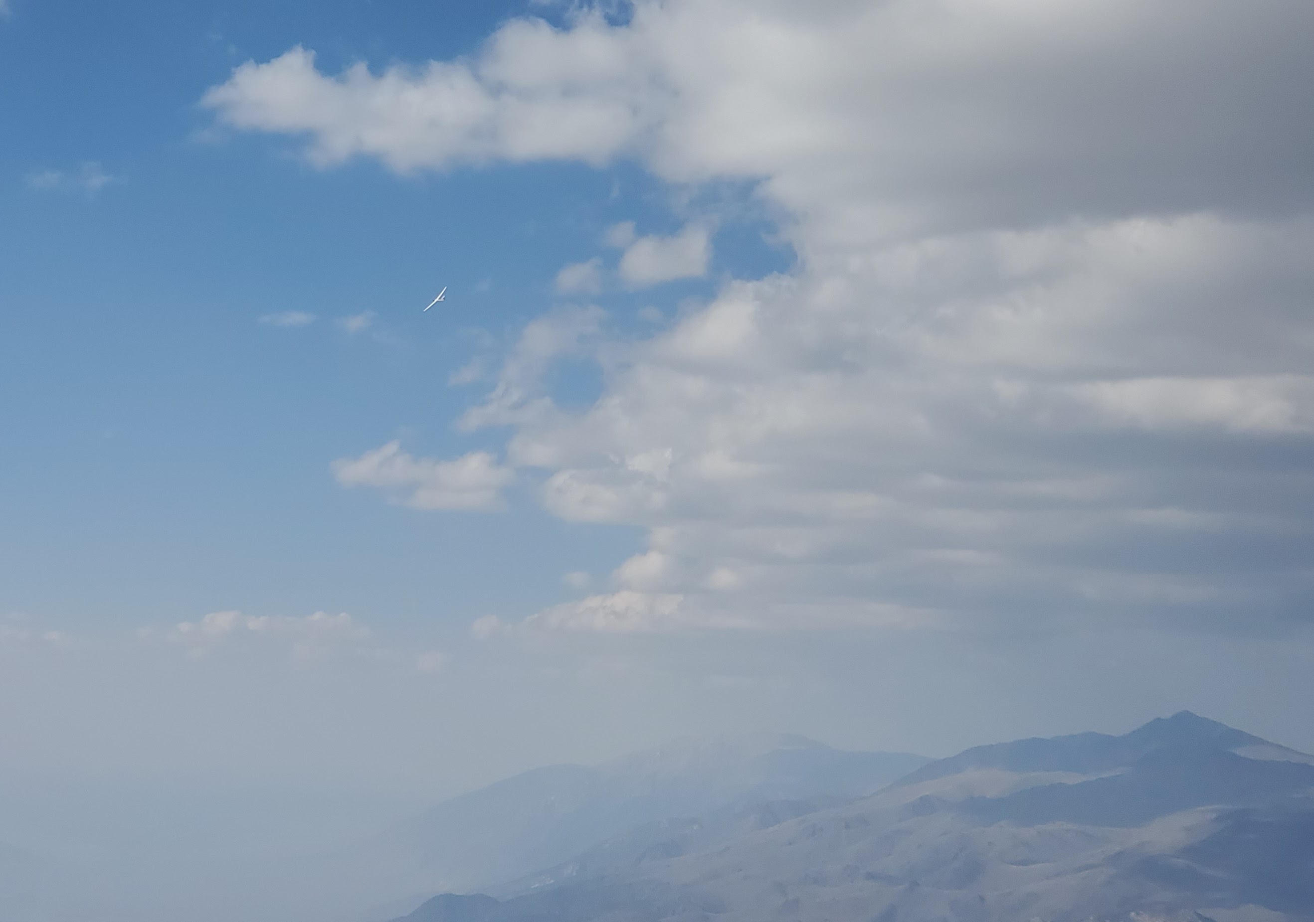
I continued north, and about halfway to the northern point of the range, I looked down to see a sailplane flying ~1000’ under me, hugging the terrain. I tried to catch a picture, but before my phone camera could focus clearly it was already a speck on my screen.
I tagged the northern point of the range, and glided north as far as I dared beyond the range before turning back to reconnect and head south. I generally use my ground speed as a way to judge wind, and as I flew north my trim speed was ~45kmh an hour, roughly 10 over my normal trim speed. When I turned around, I expected somewhat of a headwind, but I found myself instead flying trim at 45kmh going south. Density altitude had fooled me!
 I made it back on the range above launch at roughly 3pm. I had to double check where I was, my time, and my distance flown to make sure I wasn’t hypoxic and making things up. I had flown most of the route on full bar, as I was getting strong 3-5 m/s climbs, but my northern leg was 45km; if I had completed it in ~3 hours, that would mean that I had flown a blistering ~30kmh, almost unheard of for an out and back on a B wing. As a result of flying full bar for so long, my hands were numb from the freezing cold (15 F at 16000ft and 60kmh wind), and my nerves were frazzled. I decided to take a moment to slow down, eat something, try to warm up my hands, and generally compose myself. While I think this was mostly for the better, warming up my hands was a terrible idea. As they warmed up, I got the freezing barfies and they went from numb to excruciating pain. I really need to find a better glove/mitten solution.
I kept following the convergence clouds south along the range. Cloud base was 16500’ or so by this point in the day, and as I went south the terrain dropped away. I was grateful for more ground clearance, even if I didn’t need it; climbs were the strongest I’ve ever seen, and I often would stay on full bar all the way through them as my vario rocketed up to 5, 6, even 7-8 m/s up. Twice I remember seeing my flight instrument peak above 9m/s, but my eyes and focus in those moments were on keeping my wing open above me, so I don’t know if my memory can be trusted.
 I was passed by a group of 3 sailplanes, each a couple minutes apart from one another flying north along the range.
My “unfinished triangle” readout read 160km as I headed towards a large gap in the convergence clouds. It was ~4pm, and I really wanted to make it back to launch to close my triangle. I was concerned about both the gap in the clouds, and having time to make it back. I was at 16500’, and I made a deal with myself that I would keep gliding south until I was below 14500ft, and if I didn’t connect with anything in the interim, I would turn around. 14500ft came, and I turned around.
The flight back to Paiute was easy. The clouds marked the climbs, and I barely needed to turn. To push my triangle larger, I split off of the range near launch, and I made a westward glide. I did some quick math to figure out what altitude I would need to turn around at to be able to make it back above launch, and followed appropriately. After tagging launch, I turned back and glided out to land directly next to my car.
Click and drag to pan. Scroll to zoom. Control + click and drag to rotate